TigerGeo
Environmental Geophysics & Heritage - Quality Every Time


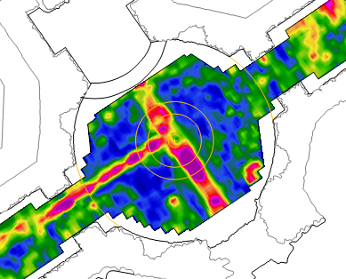
Geophysics & Topography
Specialist, for over 25 years
- magnetics (total field & gradiometry)
- electromagnetics
- single & multi-frequency radar GPR
- electrical resistance & ERT/ERI
- topographic survey & LiDAR imaging
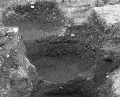
Archaeology & Heritage
Historic structures & landscapes
- pre-application site assessment
- map regression & desktop studies
- historic building recording
- trial trenching
- mitigation
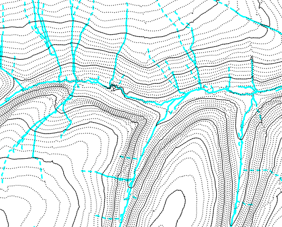
Environmental Mapping
Landform, geology & nature
- mapping badger setts
- rainfall run-off modelling
- topographic modelling & viewsheds
- locating disused mine workings
- soil conductivity (ECa) mapping
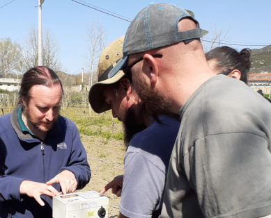
Training & Professional
Supporting the profession
- CIfA Registered Organisation
- EuroGPR member #129
- providing international training
- supporting research projects
- ISAP and NSGG committee work