


Mine Workings and Voided Ground
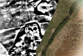
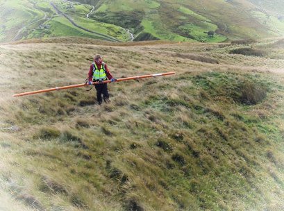
Geophysical survey enjoys widespread application within brownfield studies and over the years we have located many bellpits, costeaning / trial pits and shafts of various sizes and dates across both coal and the metalliferous mining areas of Cornwall, Devon and Wales. We work to assist invasive investigation and remediation, augmenting and providing context for the work of drilling and engineering contractors.
Detection of shallow mine workings, lost wells and other voids
Geophysical detection of former mine workings, followed by targeted truthing, provides a more reliable and comprehensive result than trenching alone and benefits include:
- greater depth of investigation (3+ m);
- high lateral resolution throughout (e.g. 1m);
- can be used in sensitive areas e.g. SSSIs or over weak ground;
- rapid investigation, faster than trenching;
- better targeted drilling or pitting, minimising disturbance.
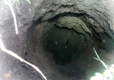
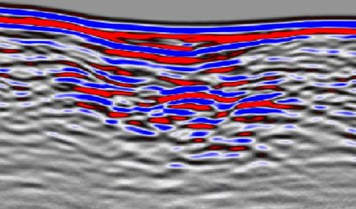
Rapid magnetic and electromagnetic techniques can identify pithead structures, collars, caps and voids as well as indirect indicators like debris scatters, pipework and tramway remains. For deeper targets electromagnetic and radar methods can search to about 5m and for large voids, e.g. stopes, micro-gravity can be used.
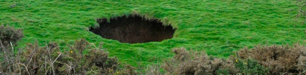
Investigation of subsidence
While drilling can identify a void, sometimes a non-invasive approach is more appropriate, e.g. to explore the context of subsidence. The use of radar can be invaluable for a 'first look' and / or to target subsequent drilling or excavation.
Why use TigerGeo?
We can bring key skills including geological assessment of strata to determine whether disturbed or natural and identification of rock fragments as surface or from depth. Many years experience of landscape survey across the UK, combined with detailed knowledge of surface mining structures from late medieval times onwards means we can effectively target methods and areas.


©TigerGeo Limited - Registered in England & Wales 09895326 - D-U-N-S 22-127-7456 - All Rights Reserved