


Intertidal and Inshore Marine
We have a variety of techniques available for non-invasive survey within the intertidal zone and ideally suited for rapid and flexible deployment within narrow time windows. A range of environmental and engineering applications exist with various methodological options for each.
Topographic monitoring
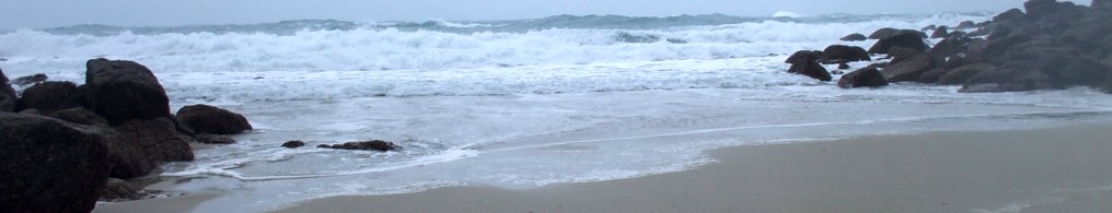
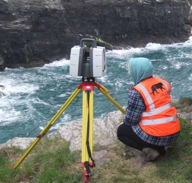
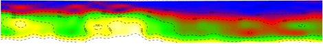
Whether measuring landform prior to engineering works or monitoring erosion or long shore drift we can provide rapid and high resolution topographic survey through a combination of terrestial laser scanning and GNSS survey. This can include intertidal surfaces, cliff faces and dune structures.
Cable, wreck, UXB and submerged steelwork detection
The use of passive magnetic survey, for intertidal work using either hand-carried instruments or for larger areas an ATV-towed array is invaluable for mapping a range of buried targets as long as there is a ferrous component. This can include the armour of underwater cables and steel associated with munitions, spikes and wire from wartime defences, UXB or ordnance disposal. In addition we can map iron components of buried shipwrecks, e.g. bolts and nails or more exotically, cannon!
Depth to bedrock
Shallow seismic techniques can be used in saline environments for geological profiling, allowing the depth of sand and gravel deposits to be measured. Applications include expansion of waterside infrastructure, installation of underwater cables and environmental monitoring. In freshwater environments electrical and electromagnetic techniques are also applicable.
Palaeo-environmental research
The use of small hand-augered boreholes combined with down-hole geophysical techniques, e.g. magnetic susceptibility, can be used to detect buried land surfaces within flooded environments. In many coastal locations past sea level rise has drowned former landscapes, the detection and understanding of which can aid investigation of problems of modern sea level changes and archaeological projects.


©TigerGeo Limited - Registered in England & Wales 09895326 - D-U-N-S 22-127-7456 - All Rights Reserved